04:23
A journey to Ramallah / Silent video
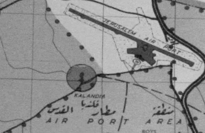
A journey to Ramallah is conducted by a proposed map titled as: “Town Planning Adviser: Planning of Jerusalem (Jordan) and Region, 1965.”
The journey begins from Shu’fat: the camera scans the map starting from there passes on to Beit Hanina South, Beit Hanina Central, Beit Hanina North, Er Ram, Air Port Area, Qalandiya and finally arrives in Ramallah – El Bireh.
In each different “station”, the video/journey stops and switches to another short still video. For instance, when the journey arrives in Qalandiya, the screen switches to a video showing a soldier shooting a horse, and so on.
The video comes to evoke the perspective of the spectator; the way s/he sees and examines things around him/her. It also attempts to expand the meaning of the decisive moment in shooting/filming/photographing.
In short, this video comes to ask whether it is the only way that connects Shu’fat with Ramallah.

